

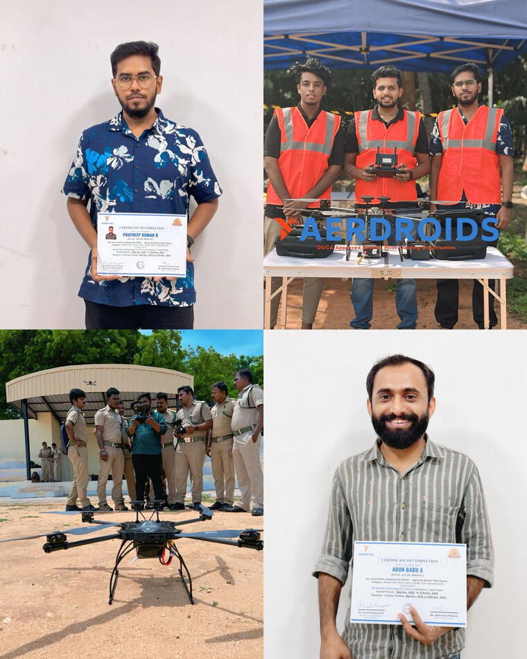
Aerial 3D Mapping + Remote Pilot Certificate
2. Bundle Drone Courses | Value for Money
INR47542
INR58400
19% Off
Product description
Get DGCA-certified as a drone pilot while mastering Aerial 3D Mapping for surveying, real estate, construction, and industrial applications. Learn how to capture high-accuracy geospatial data and create professional 3D models using drones. ✅ DGCA Remote Pilot Certification (RPC) – Legally fly drones for commercial surveying ✅ Photogrammetry & LiDAR Basics – Learn how to create 3D models & terrain maps ✅ Surveying Techniques – Capture precise geospatial data for industries ✅ GIS & Post-Processing – Work with Pix4D, DroneDeploy.